Project: G3W-SUITE
Changelog for version: 3.2
Release date: 07 April 2021
G3W-SUITE 3.2 offers an extensive list of new and improved features , among which we remember
We hope you enjoy this great work!
Happy mapping!
G3W-SUITE is an open source project and if you are able to, consider supporting our work through donations or contributions to the code documentation, web site and so on. Among the main funder of this version we remember:
Version 3.2 is compatible with the new LTR version of QGIS 3.16.
The filter function (based on features selection) at the print level is supported only with QGIS 3.18

The QGIS AuthCFG system is managed by the suite.
To manage access to your DB data more securely.
Geographic and alphanumeric constraints, based on users (individuals or groups), can now be activated for:
Reading/editing support on Oracle Spatial DB is extended

Multiple styles associated with layers are now supported
The attribute table allows you to create filters based specifically on the value of one or more fields
The records shown in the attribute table of a layer can be filtered according to the features visible in the map
It is now possible to select and filter features starting from:
The activation of the filter on the selected features is reflected on:
The plots are better organized and easier to understand.
Warning messages indicate the activation of filters based on the map content and/or on the presence of active filters on the layers
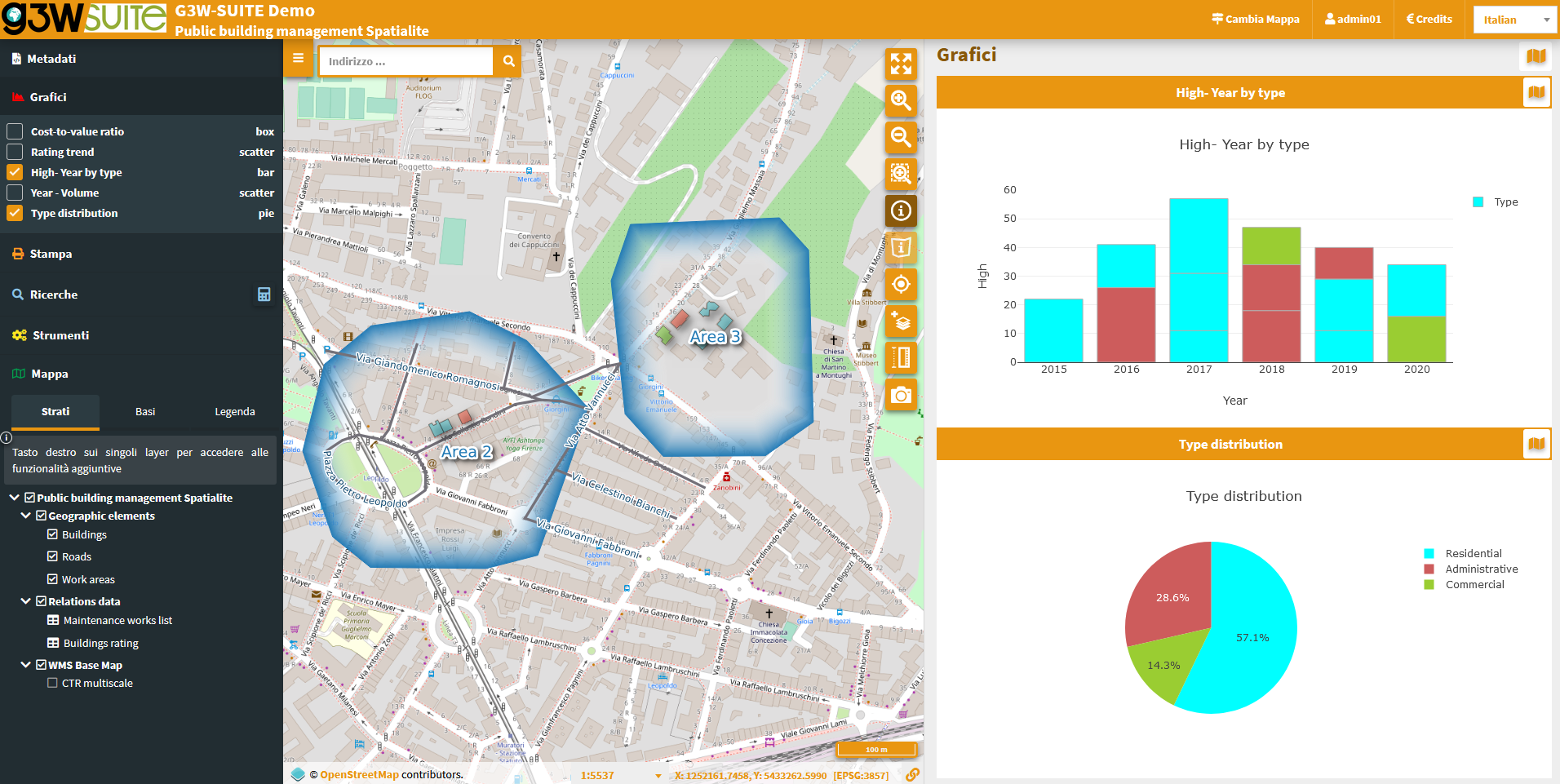
The plots built on QGIS with the DataPlotly plugin are published on the suite by loading the xml file deriving from the plugin.
It is now possible:
The plots can be filtered on the values associated with only the features visible on the map
The filter is also active on any plots based on tables related 1: N with the features of the geographic layers
The plots can be filtered on the values associated with only the filtered features following selection
The filter is also active on any plots based on tables related 1: N with the features of the geographic layers
In the event that plots are active on 1:N related tables
These will be visible in the query results form and in the 1:N relations session.
It is now possible to select more features of a layer and modify the value associated with one or more fields for all the selected features.
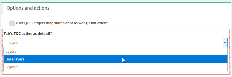
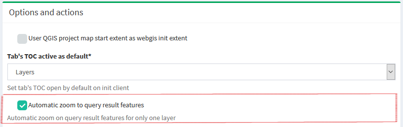
When you publish a webgis service it is possible to define:
It is now possible to export geographic and non-geographic layers in GPK format.

It is possible to use the logo associated with a cartographic group at the header level of all the webgis contained in the group
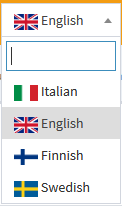
Map client and administration panel are available in additional languages: