LOADING

Mergin Maps partnership

Gis3W provides support, at every level, for the Mergin Maps solution dedicated to QGIS-based field data collection

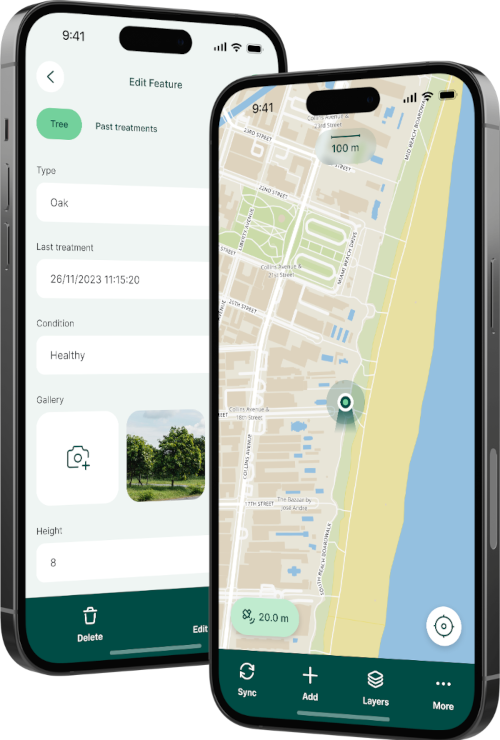
With the OS Mergin Maps solution it will be possible:

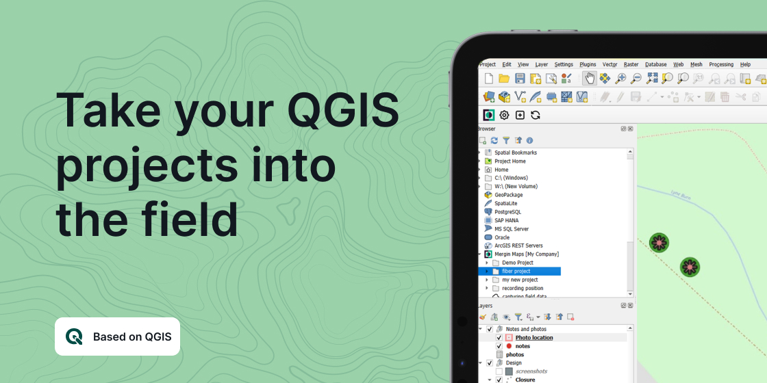
    • prepare field data acquisition apps by defining features and functionality on a QGIS project
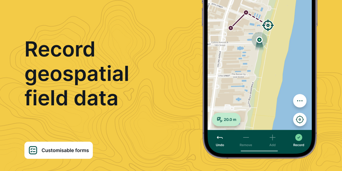
    • define data recording forms using QGIS modules, widgets and editing tools
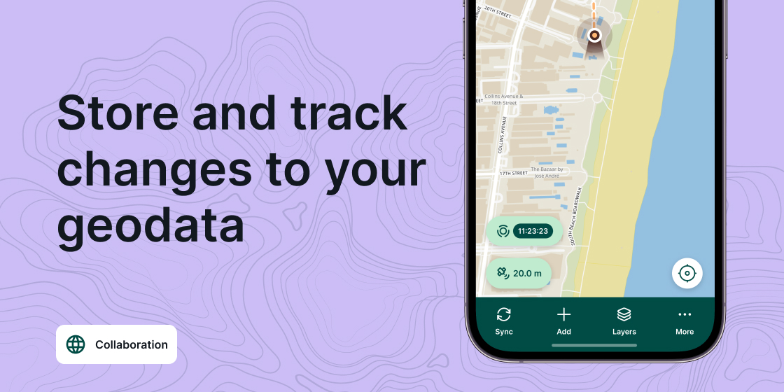
    • easily synchronize your data on a centralized server, with inconsistency management
    • easily integrate your geospatial infrastructure
    • connect an external GPS, high precision, for precision measurements

Our goal: integration with G3W-SUITE!

Future developments will lead to an integration of the QGIS projects published on G3W-SUITE with those available on Mergin Maps

    • a single point of administration for publishing on the web and apps
    • user sharing
    • simplicity of use and management
    • integration via API

Gis3W, official partner of Mergin Maps, provides:

    • Training: preparation of the QGIS project, creation and design of data entry forms, background maps, field data collection, synchronization and everything that may be needed for the best results
    • Consulting and support: structuring of the project, connection and synchronization with centralized database, customized solutions
    • Development: thanks to the collaboration with the developers of Mergin Maps, we offer customization services, custom releases and addition of new features