Project: G3W-SUITE
Changelog for version: 3.4
Release date: 5 April 2022
G3W-SUITE 3.4 offers an extensive list of new and improved features – the most important shown here:
G3W-SUITE is an open source project and if you are able to, consider supporting our work through donations or contributions to the code documentation, web site and so on. Among the main funder of this version we remember:
G3W-SUITE 3.4 is compatible with the new LTR of QGIS
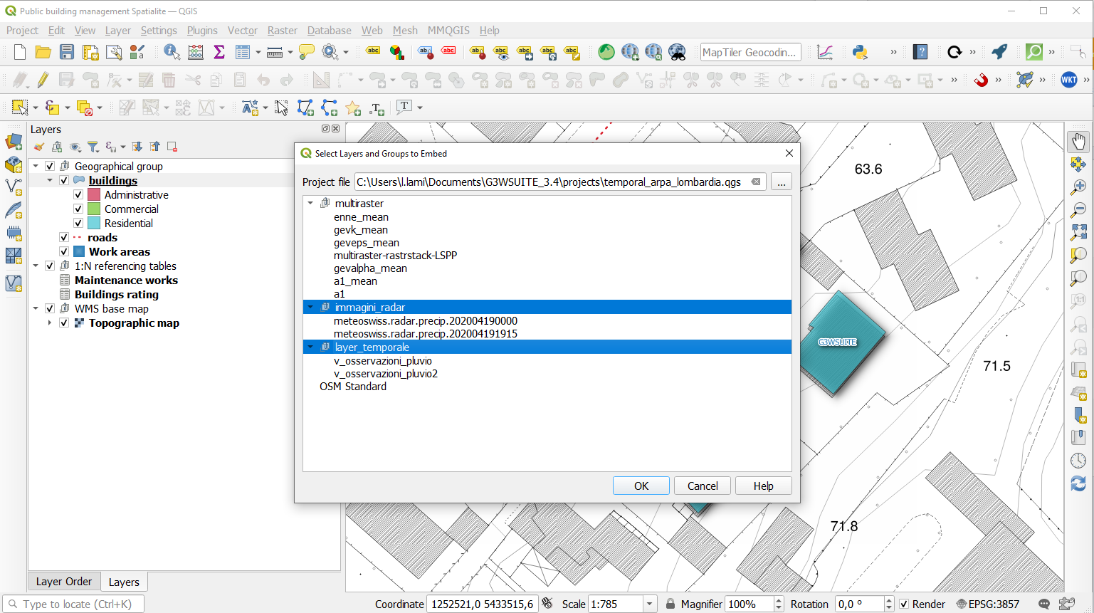
G3W-SUITE now manages the publication of projects with embedded groups/layers from other projects.
Updating the “parent” project will result in updating all projects with embedded layers.
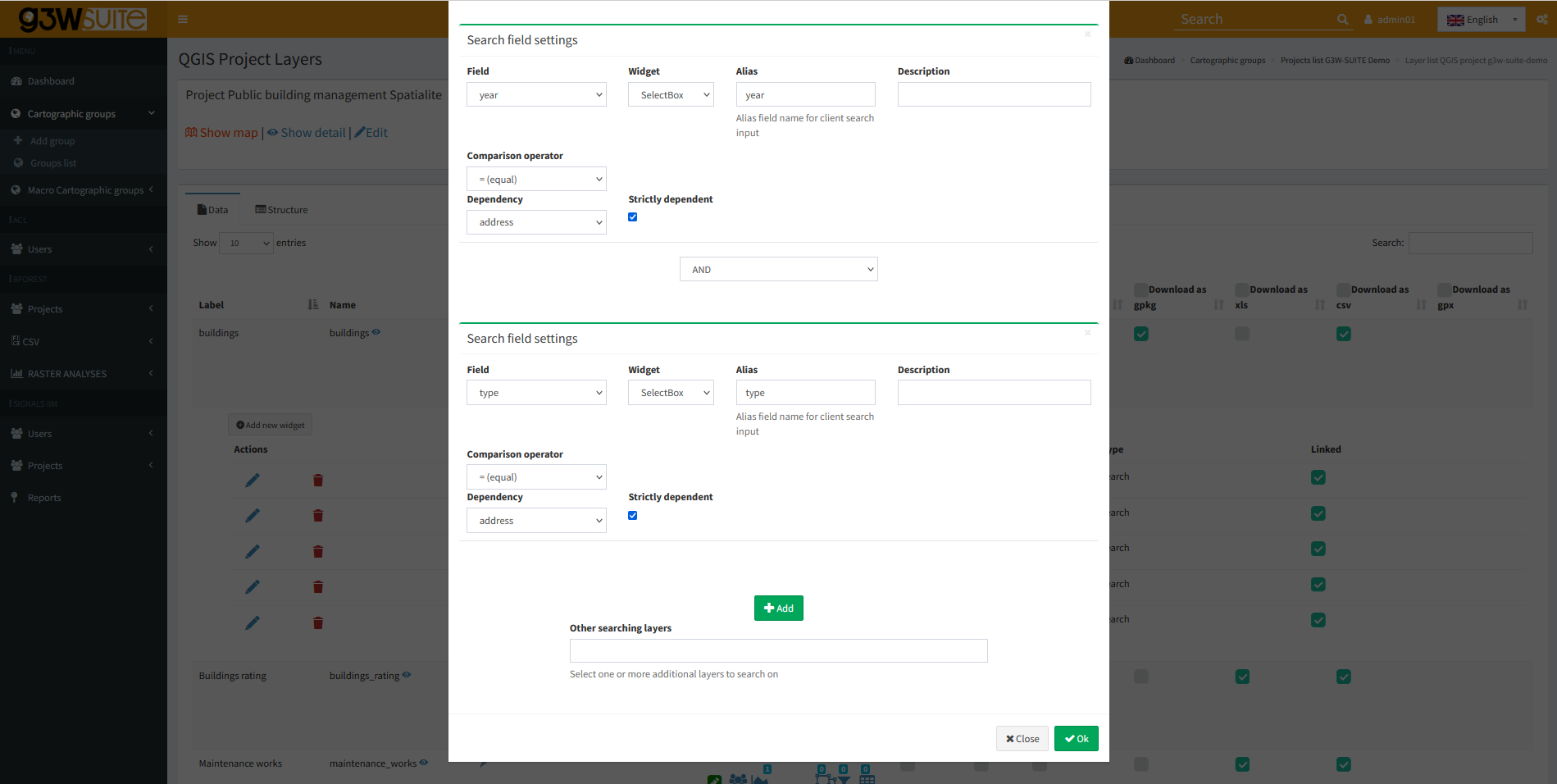
Now it is possible to define the dependence more or less strong (strictly).
In case of strictly dependence, the values of the dependent fields will be loaded only after the choice of the value of the field on which the dependency depends.
Otherwise it will be possible to define the values of the individual fields freely and without a specific order. The values available for the other fields will in any case depend on the choice made.
It is possible to define filters for the single layers of a project (based on single/group users) which define the visibility of the attributes (fileds) of the layer itself.
Also available for public user (AnonymusUser)
It is possible to create parameterized URLs for direct zomming to:
The user can add custom WMS layers to the WebGis service.
The list of WMS services and the specific WMS layers added will remain available to the user until the browser cache is cleared.
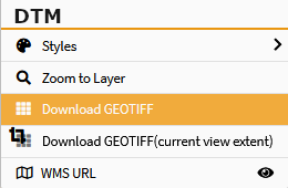
Now it is possible to allow the download of raster data in GeoTiff format.
Entire layer or clipped to the extent of the canvas.
Using the ItemIDs at the print layout level of the QGIS project it is possible to insert one or more labels with customized content in the print from WebGis
Drill-down (cascading) forms based on QGIS expressions are now supported and implemented for online editing.
The functionality can be used to implement “drill-down” within editing forms, where the values available in one field depend on the values of other fields.
This function will be reflected in the consultation side.
Conditional forms based on QGIS expressions are now supported and implemented for online editing/consulting.
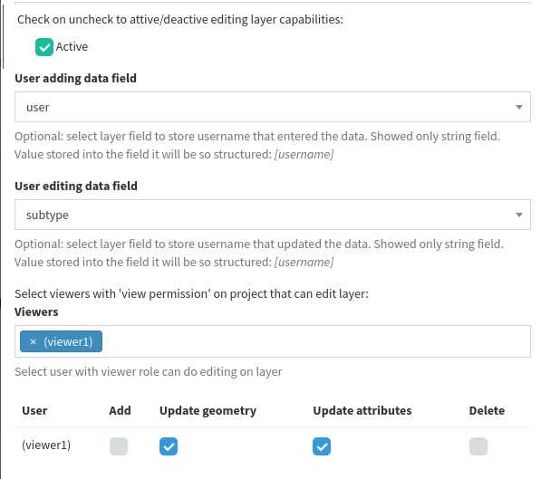
Automatic compilation of fields of the attribute table with user creator/modifier of the features.
It is possible to go directly from consulting the attributes of a feature to editing it.
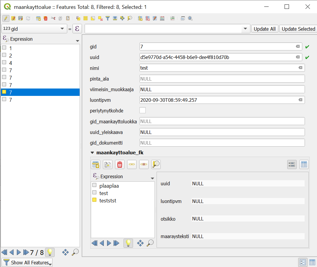
1:N relations are managed in cascade without nesting limits (consultation and editing)
Improved and modified the management of 1:N related data editing (no longer via TAB)
The management of N:M relations defined on QGIS project is now supported.
Limitation in editing: non-direct changes on M table
It is now possible to misure interactively the segments length and the polygons area on the map during the editing phase.
Animating Time Series Data on WebGis!
The QGIS temporal controller functions are now managed on the WebGis side.
Compatibility is currently valid for NetCDF formats.
Animating Time Series Data on WebGis!
The QGIS temporal controller functions are now managed on the WebGis side.
Compatibility is currently valid for vector data (Single Filed with Date / Time option only).
Analyze your multiband data through time charts!
Implemented a generic method for using the Processing API for geographic data analysis directly on WebGis.
The use of the individual Porcessing modules requires the implementation of dedicated client/server modules for use on the cartographic client side.

Using drag&drop in the ADMIN session it’s now possible to define the order of the WebGis services at the FrontEnd level.
